





©Copyright 2018 GEOSCIENCE RESEARCH INSTITUTE
11060 Campus Street • Loma Linda, California 92350 • 909-558-4548

All Galleries
All Images












Cervino (Matterhorn)
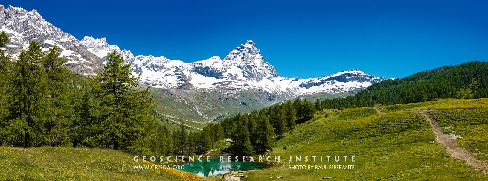
The snowy peak of the Cervino. The Alps are a majestic mountain chain that records a history of continental collision and mountain rising. Glaciers and rivers have sculpted many valleys and contributed to the beauty of this natural landscape. Photo taken from Blue Lake, Cervinia-Breuil, Aosta, Italy.
Confluence
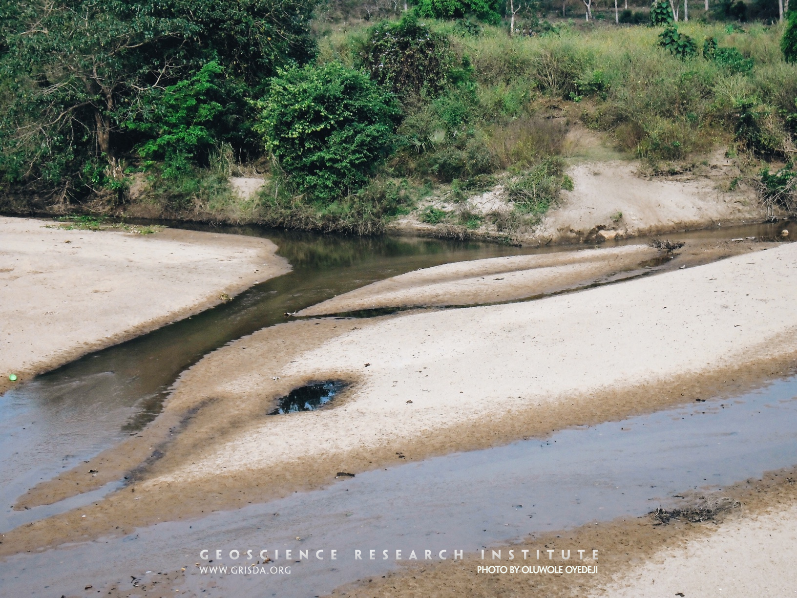
A confluence is the point at which two streams flowing from different directions unite. This photo shows a confluence of two streams, approximately equal in size and width, draining the basement complex in north-central Nigeria.
Grand Mesa Land O Lakes Viewpoint
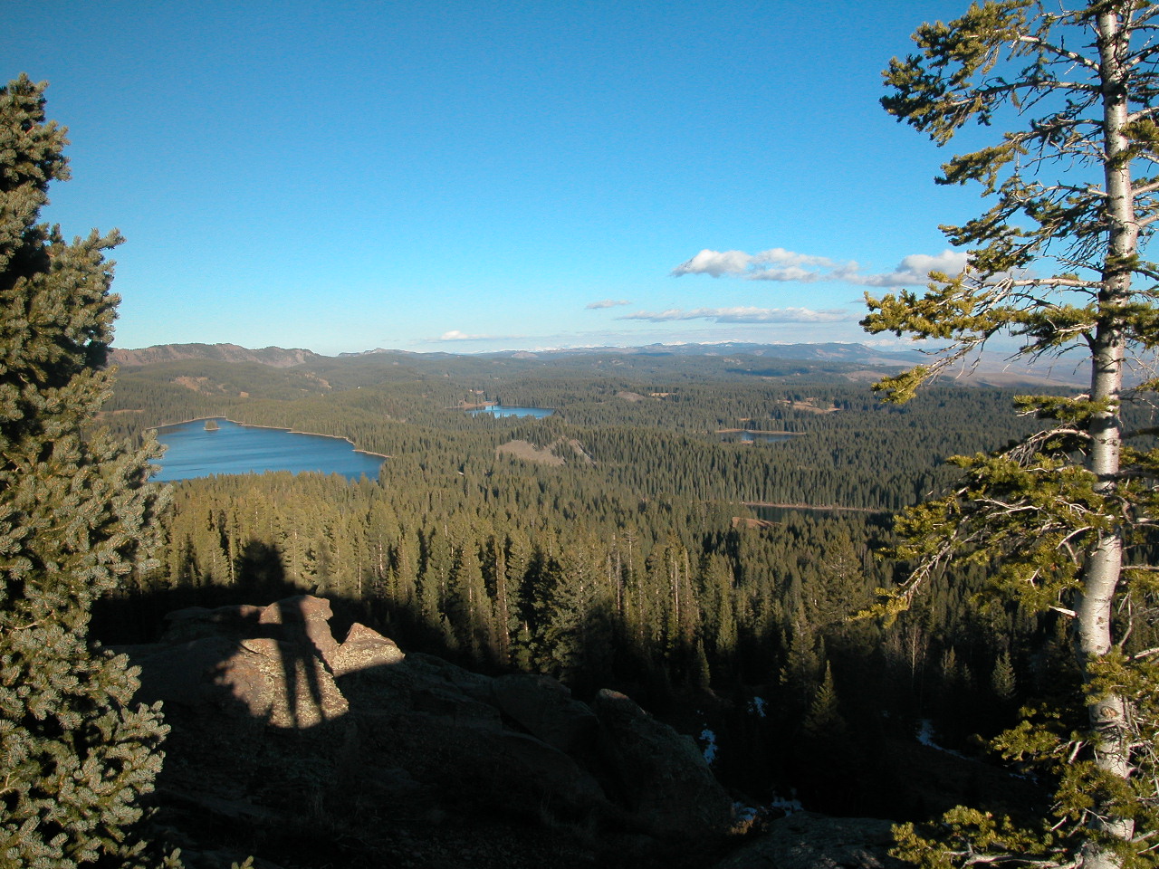
Land o' Lakes viewpoint, Grand Mesa --- This mesa located at 10,000 feet elevation is one of the largest flat-topped mountains in the world covering 50 square miles. Hard Tertiary basalts resisted erosion to form the flat mesa.
Trail Eto River
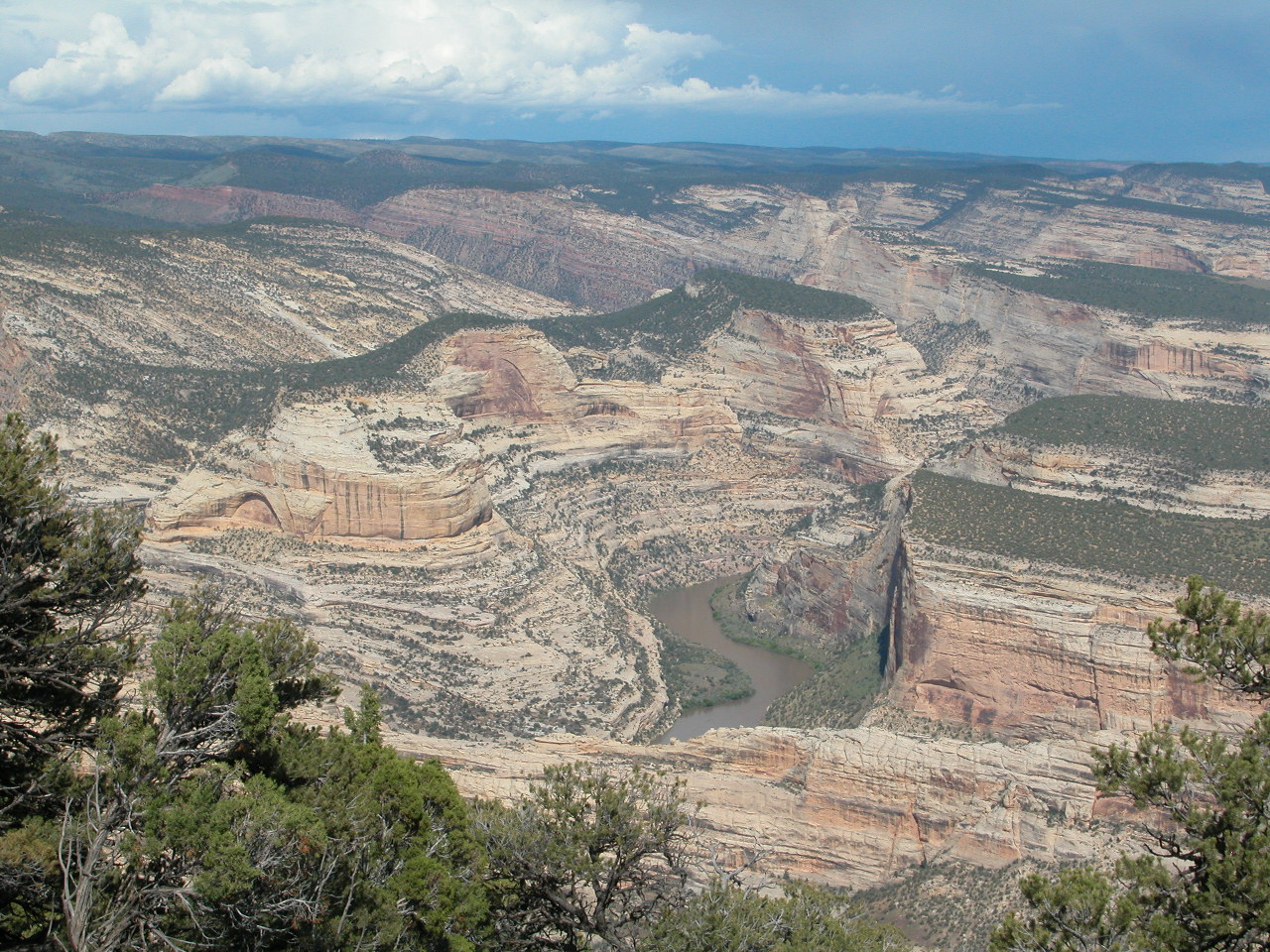
Harpers Corner, Dinosaur National Monument --- At the floor of these canyons of the Colorado Plateau run the Green and Yampa Rivers.
Hills
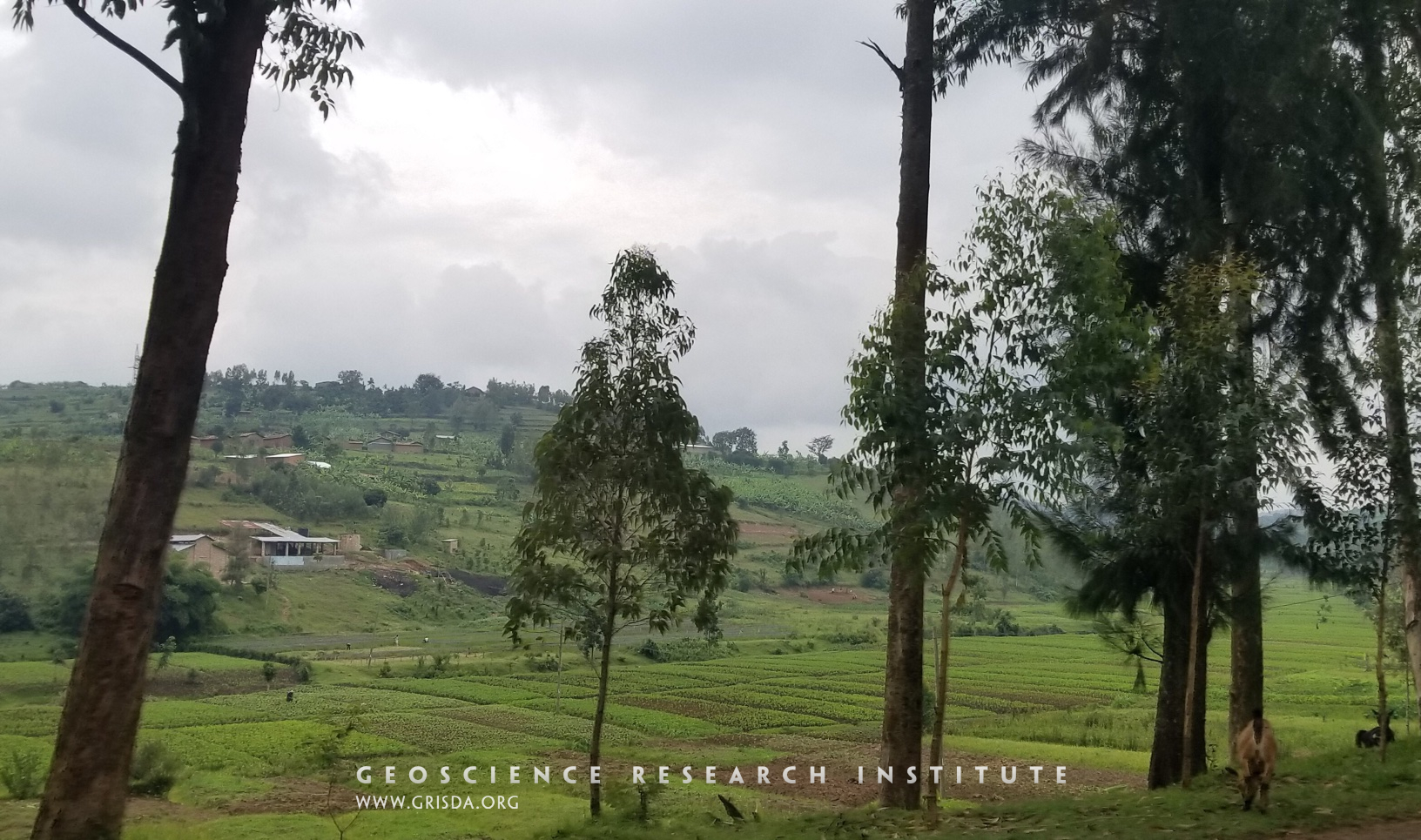
Rwanda is known as the country of a thousand hills. These hills are mostly made of Precambrian rocks. However, the valleys between these hills are filled with alluvial deposits that provide a fertile soil for cultivation. Photo taken in the Kigali district.
Valleys
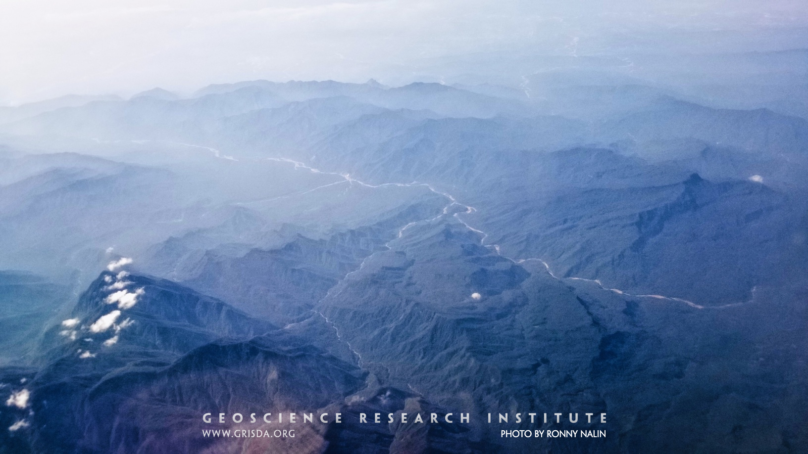
An example of transverse and longitudinal valleys from the Bolivian Andes, Parque Nacional Carrasco, reflecting structural control on geomorphology.
Basalt Cliffs
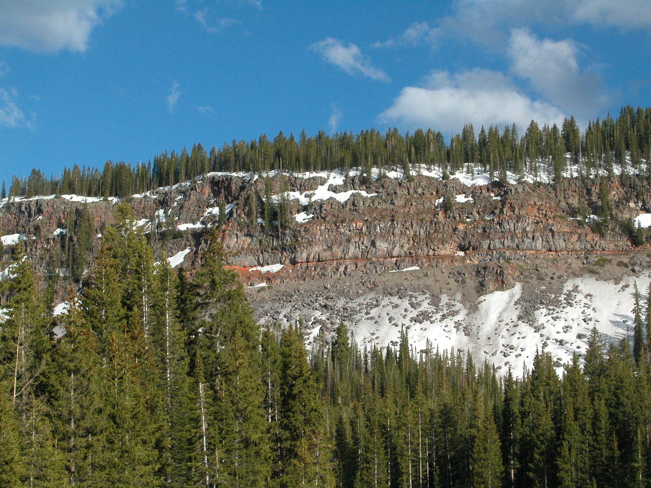
IGNEOUS - EXTRUSIVE: Basalt cliffs, Grand Mesa --- Tertiary basalt flowed down a valley and hardened. Later erosion formed these cliffs where the hard basalt caps the mesa. Grand Mesa is an inverted valley -- what was low has now become high.
El Peñón de Guatapé
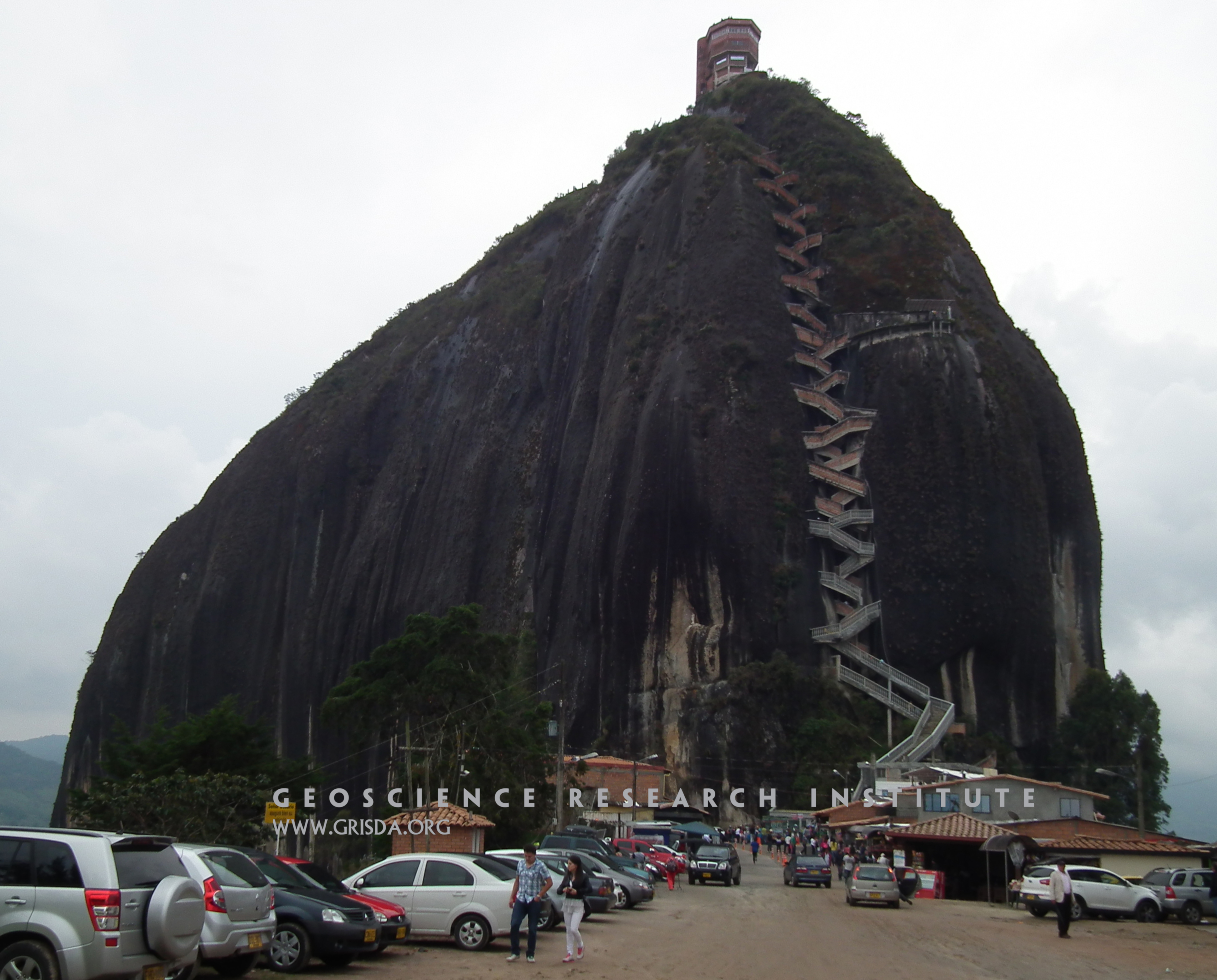
El Peñón de Guatapé is a granitic monolith that rises about 200 m above the surrounding landscape, in the Antioquia region of NW Colombia. These isolated landforms are also known as "inselbergs" and are typical of granitic rocks in tropical regions.
Rt13
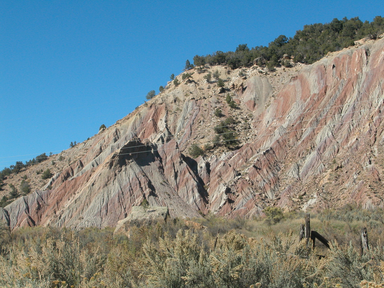
Badlands, Wasatch Formation, Rt.13 north of Rifle --- The sandstone has been eroded into badlands and teepee-shaped mounds.
U-shaped valley
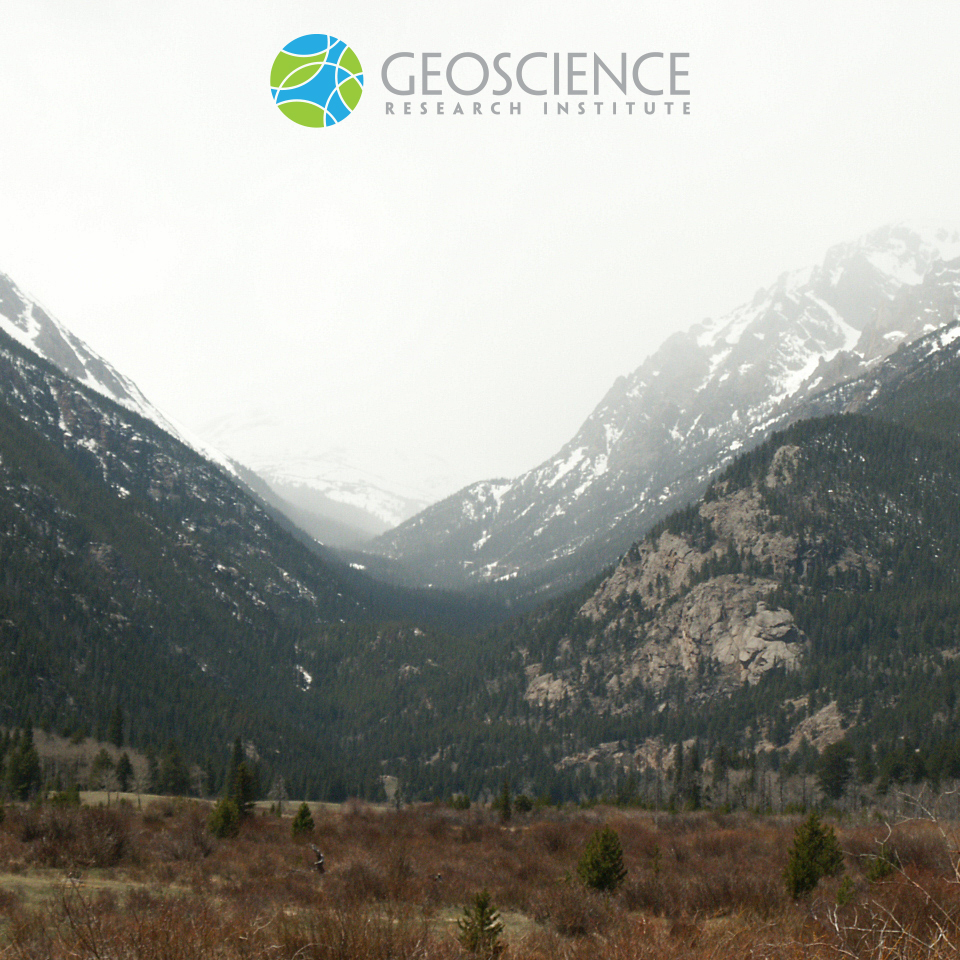
Characteristic U-shaped profile of a glacial valley. Broadening and flattening of the valley floor and steepening of the valley flanks are attributed to erosion by a glacier. After melting and retreat of the ice tongue, a U-shaped valley can be further modified by alluvial processes. Picture taken at Rocky Mountain National Park (CO).
Coastal notch
Coastal notches are erosional features characterized by subhorizontal indentations formed at the base of resistant coastal cliffs. Their height and depth can range from a few centimeters to several meters, depending on tidal range, wave energy, rock strength, and other factors. Because they develop through processes such as abrasion, weathering, dissolution, and bioerosion occurring near the high tidal level, they are considered reliable indicators of past sea levels when observed along submerged…
Mogotes
Mogotes are landforms typical of karst terrains in tropical regions. They consist of steep-sided, often isolated hills surrounded by flat alluvial plains. Mogotes form in carbonate rocks that have undergone significant dissolution. This photo shows mogotes in the Viñales Valley, located in Pinar del Río Province, western Cuba. These mogotes are composed of Cretaceous and Paleocene limestone.